Home
Login
CCR Gallery
Photos from users of myccr.com
MyCCR Home Page
Album list
Last uploads
Last comments
Most viewed
Top rated
My Favorites
Search
Home
>
Canoe Routes
>
Ontario
FILE 495/1380
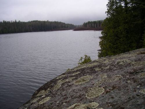
Paul Lake, northern Temagami, looking NW
location of geodesic marker shown at http://www.gallery.myccr.com/albums/userpics/11594/normal_IMGP0110.JPG
File information
Filename:
IMGP0108.JPG
Album name:
erhard2
/
Ontario
Place Taken:
100m south of the northern campsite on Paul
Filesize:
73 KiB
Date added:
May 08, 2010
Dimensions:
676 x 507 pixels
Displayed:
757 times
Digital Zoom Ratio:
0
EXIF Image Height:
507 pixels
FlashPix Version:
version 1
Resolution Unit:
Inch
Saturation:
0
Y Resolution:
72 dots per ResolutionUnit
YCbCrPositioning:
Center of Pixel Array
URL:
http://gallery.myccr.com/displayimage.php?pid=2311
Favorites:
Add to Favorites